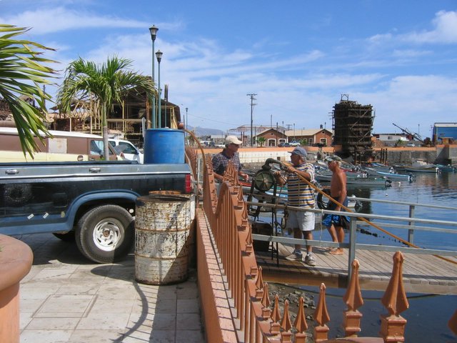
The pump and pump-er with the tank in the back of the pickup. What a contrast to the last fueling photo.

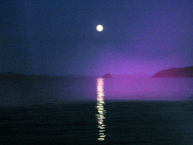

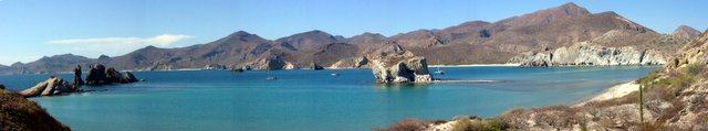
Well nobody asked, but on the off chance that somebody may be interested in what I described as “one of the most difficult anchorages we have done because of four just submerged reefs” a cruising guide book warning about entering the San Marte anchorage follows:
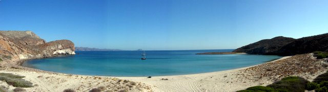
The trouble with San Marte is a couple of hidden offshore dangers on the approach. First, there are a couple of large offshore reefs. Second, there are two house size blocks of rock right by the north entrance for those approaching from Agua Verde or points north. One “house” is only 2 feet down at low tide. The other could be a real keel cracker for a large boat being only about 7 feet under at low tide. These rocks are not easy to see under some light conditions, but by keeping close to Punta San Marte, which has its own little reef off the point, and holding a course of 240 degrees Magnetic from a GPS of 25 30.27 N – 111 0.81 W you should clear right into the anchorage. The rocks are directly south of the point, so once you cross this line, you are safe. A depth sounder does you no good here. The rocks have vertical sides and rise up out of a 45 ft. sand bottom.
The offshore reefs are another matter. They rise up from a deep sand bottom, but they are more the size of half a city block, rather than house size. When approaching from the south, just follow the 30 foot contour along the shore and it will lead you right into the anchorage. If approaching from offshore, you can either head for the point and take the northern entrance, or you can pick up the usually visible pinnacle rock at the east end of the north reef, rough GPS 25 30.00 N – 111 0.46 W one boat length east of the rock. (I didn’t sit on the rock). Then keeping at least half a mile south of this rock, head for the shore and the 30 foot contour. The south reef is entirely covered, unless there is a large swell running and a low tide, you will never see it, but it is there. There are often several pangas anchored over these reefs fishing. A dinghy trip to explore the reefs would give you a better idea of where they are. The area between the two blocks of rock and the first reef APPEARS to be free of danger with sand at 40 to 60 feet, but I have not covered this are on a close grid, so I would assume that where there are two rocks sprouting, there may be more.
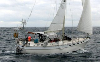
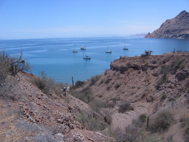
So this is what we do for enjoyment! In the fall we used the north entrance. When we got to the narrow point I could see the reef off the point and one of the “houses”. There was so little room for error, and I was right in the center of the channel, that I decided never to use that entrance again.
In the spring I used the south offshore entrance. When we left I used the “track back” feature of our GPS. This saves our exact route and lets us follow that “track” back into the anchorage using the autopilot. Its like leaving bread crumbs without worrying about the birds eating them. Next time we will just follow this known safe track. GPS technology had made cruising much safer. However a few days before we arrive a boat hit the south reef while leaving. They got off the reef without assistance.